
Installation Status
Weather Outlook:
Current: A few clouds, 82°F. West wind 10 mph.
This Afternoon: Sunny, with a high neat 84°F. West wind arouns 8 mph.
Tonight: Mostly clear, with a low around 68°F. Southwest wind 3 to 5 mph.
Thursday: A chance of showers and thunderstorms after 2PM. Mostly sunny, with a high near 84°F. Southwest wind 7 to 10 mph. Chance of precipitation is 30%.
Thursday Night: Showers and thunderstorms. Low around 64°F. Southwest wind 3 to 5 mph. Chance of precipitation is 80%. New precipitation amounts between a quarter and half of an inch possible.
Hazardous Weather Outlook:
None Forecasted.
Road Conditions:
Cantonment: GREEN as of 8 July 2:00 PM.
Range: GREEN as of 8 July 2:00 PM.
Fire Danger Rating:
The Fire Danger Rating for the week of 6 July 2026 is LOW.
Wet Bulb Rating:
As of 8 July 2026, 1:00 PM, the Wet Bulb temperature is 81°F. Heat CAT 1. Ambient temperature is 84°F.
For more information, click HERE.
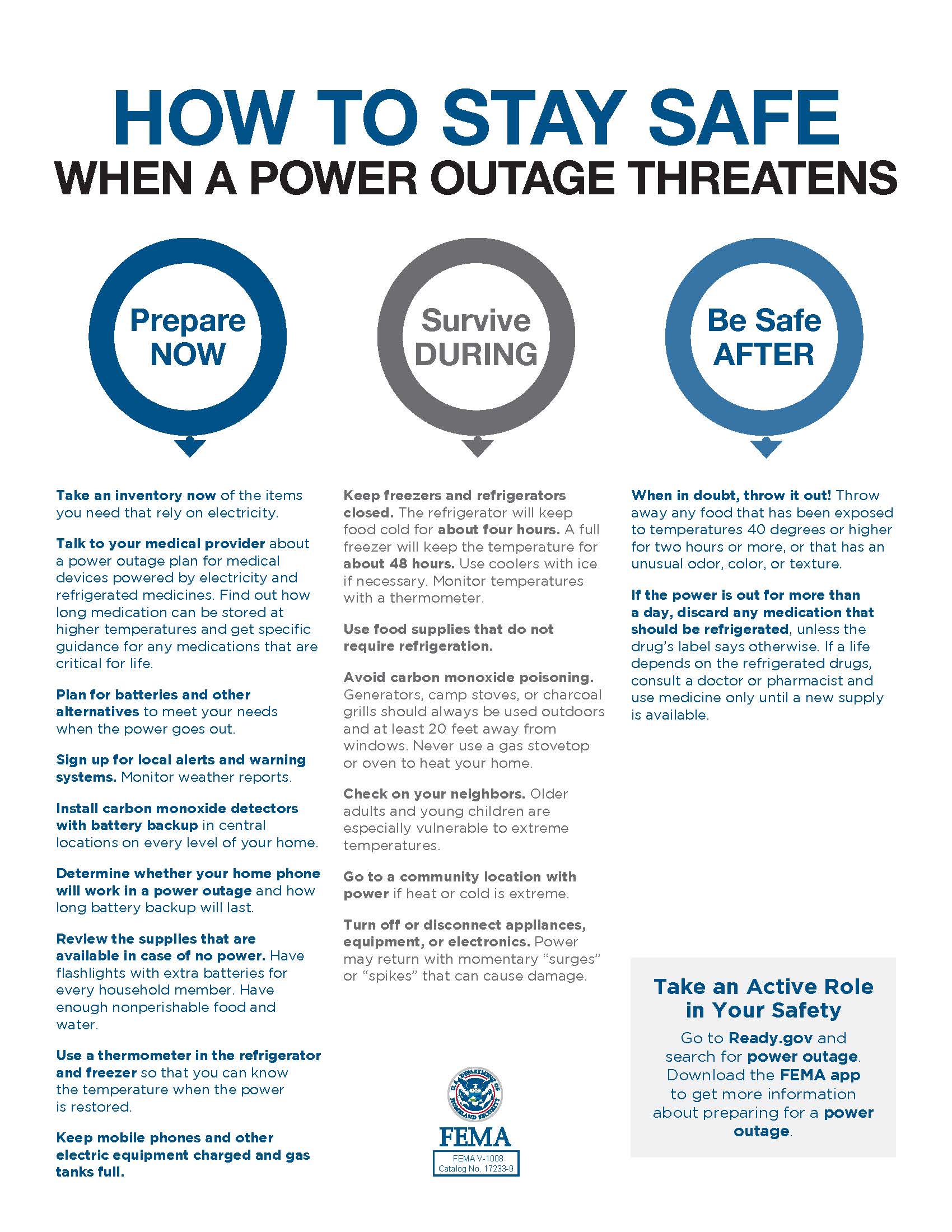
(Click on image to open in separate window.)
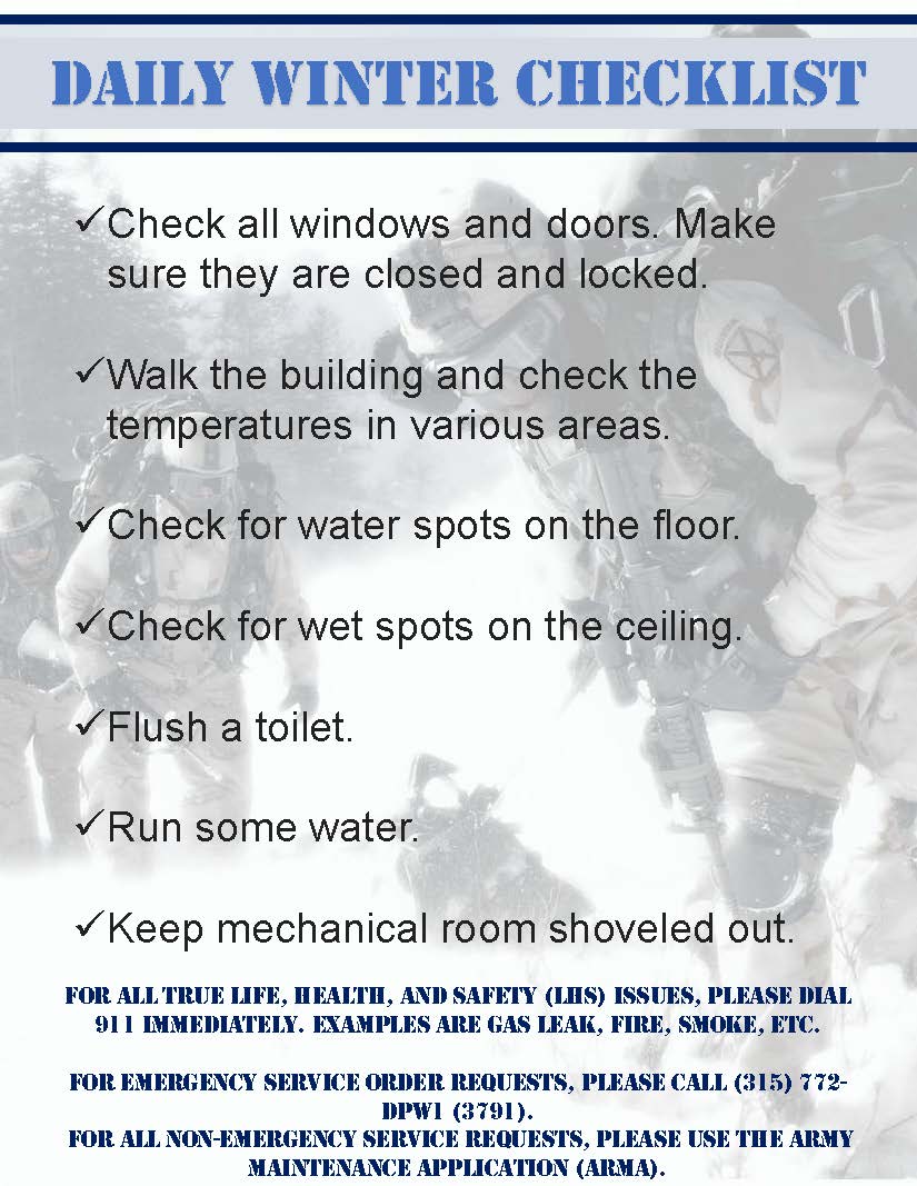
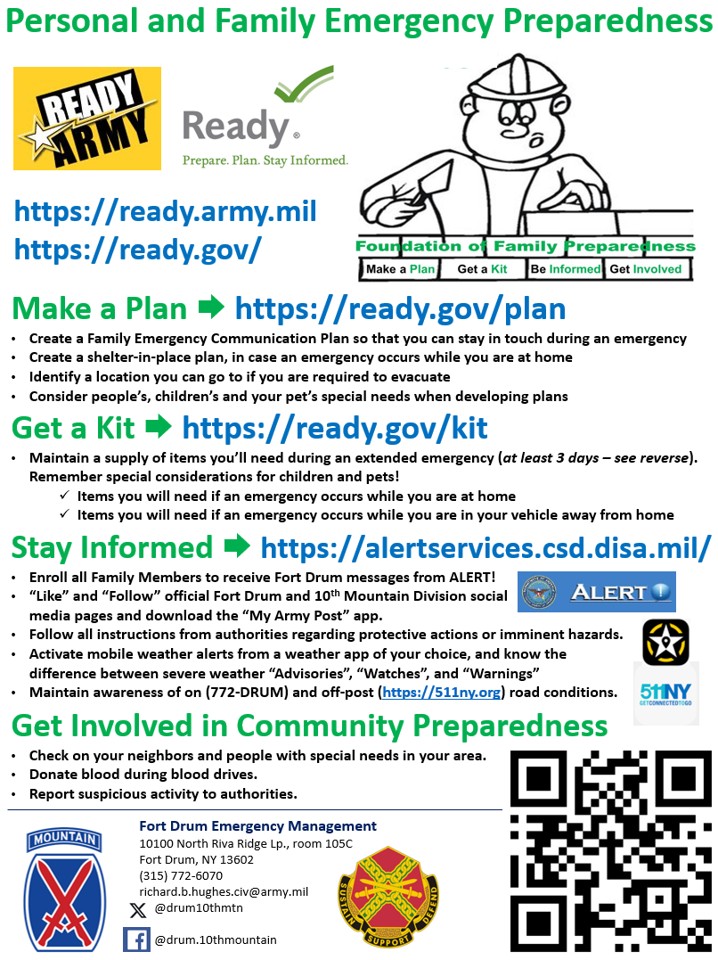

(Click images to open.)