 Forestry Controlled Burn Season
1 Dec - 30 June:
Today Wednesday, 10 June 2026: 1. E21– 148 acres- Hand burn. Area is 15 miles NW of Bldg. 1- and 6-miles W of Taylors Creek fire tower. Flames and smoke WILL be visible from GA highway 144W. Predicted winds are SW 0-3 MPH.
NWS FIRE DANGER RATING
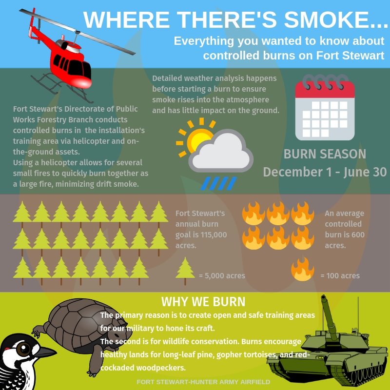
The Fort Stewart-Hunter Army Airfield Forestry Branch manages approximately 240,000 acres of upland and flatwood pine forest, forested wetlands and openings through its forest management program. That’s the largest forestry program in the Army east of the Mississippi river!
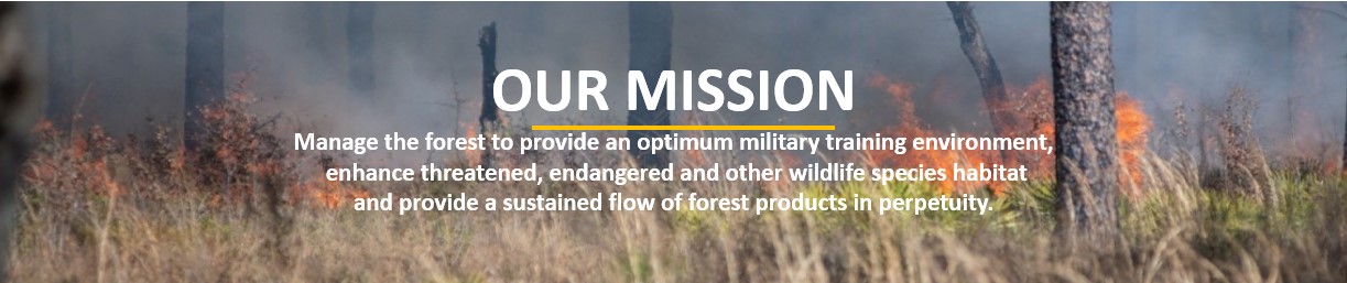
The Forestry Branch uses tools such as prescribed burning and timber thinning to achieve a superior training environment for our Soldiers.
Controlled (prescribed) burning is a managed burn that uses low intensity fire to improve and enhance our Soldiers' training lands, clear underbrush to reduce wildfire hazards, and improve wildlife habitat.