


Fort Stewart/Hunter Army Airfield's (FSGA/HAAF's) Wetlands Program is responsible for reviewing proposed construction projects, timber harvests, and training operations to determine the optimal site for such actions in order to minimize wetland impact. Where impacts are unavoidable, the Wetlands Program applies for the proper permits to allow the action to proceed, and ensures that the impacts are alleviated through actual or virtual replacement of the lost wetlands.
Wetlands are areas where water covers the soil, or is present either at or near the surface of the soil all year or for varying periods of time during the year. Wetlands generally include swamps, marshes, bogs, and similar areas. They are characterized by a high water table, which refers to the level at which the soil is completely saturated with water. This generally contributes to the formation of soils rich in organic matter and colonization by life forms that prefer moist environments. With the ability to support both aquatic and terrestrial species, wetland areas create some of the planet’s most diverse and productive ecosystems.
Situated in Georgia’s Coastal Plain, with its low elevations and flat topography, FSGA/HAAF contains a great deal of wetland areas. In fact, wetlands constitute roughly one third of FS alone and HAAF has approximately 1,600 acres of tidal marshlands within its boundaries. Since wetlands are protected by numerous federal laws, the Wetlands Program works hard to maintain compliance and ensure maximum use of training land.
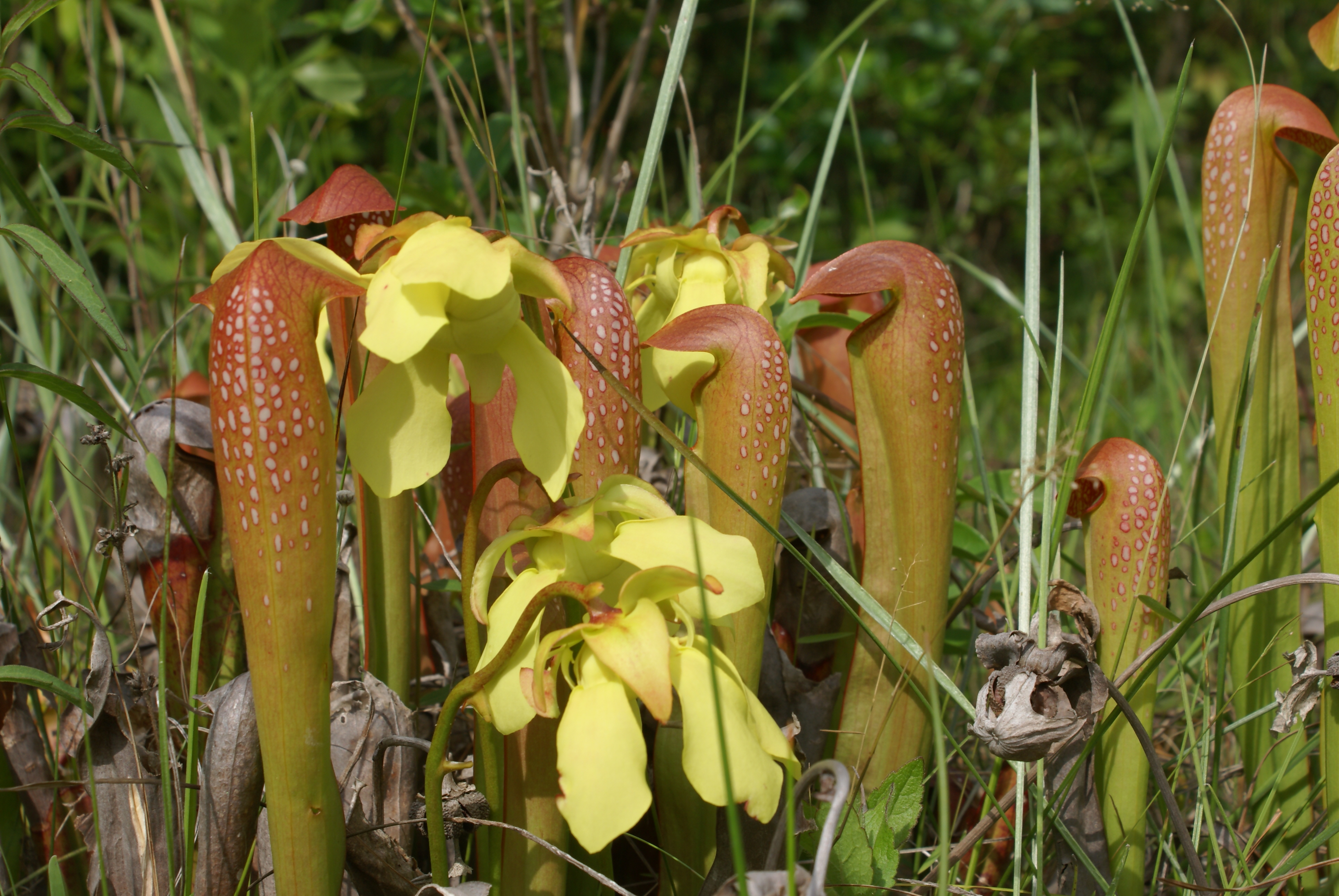 The hooded pitcher plant (Sarracenia minor), pictured above, is one of hundreds of plant species found in Fort Stewart's wetland areas.
Wetlands Program
Phone:
(571) 801-0241
(571) 801-0241
Location:
Bldg 1137
1550 Veterans Parkway
Fort Stewart, GA 31314