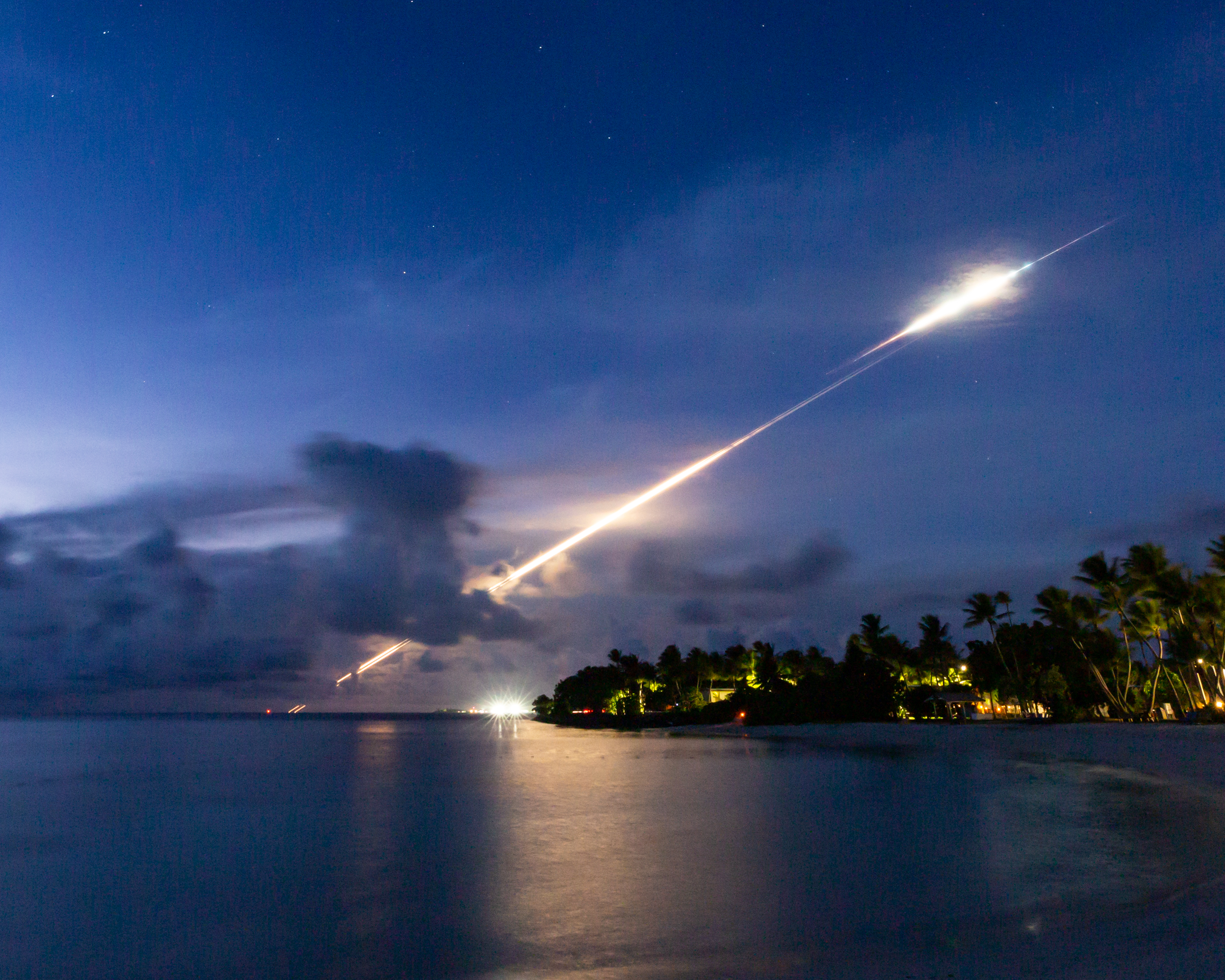
Kwajalein Atoll is part of the Republic of the Marshall Islands (RMI) in the West Central Pacific Ocean. It lies 2,100 nautical miles southwest of Honolulu. Kwajalein is in the same general latitude as the southern area of the Republic of the Philippines and the same general longitude as New Zealand, approximately 3,200 miles to the south. Kwajalein Atoll lies less than 700 miles north of the equator.
Kwajalein Atoll is a crescent loop of coral reef, enclosing an area of 1,125 square miles, one of the world’s largest lagoons. Situated on the reef are approximately 100 small islands with a total land area of 5.6 square miles. Kwajalein Island, the largest in the atoll, is 3/4 of a mile wide and 3.5 miles long. From Kwajalein Island north to Roi-Namur is approximately 50 miles; northwest from Kwajalein to Ebadon is approximately 75 miles. Approximately 15,000 Marshallese citizens live within the atoll, with the majority living on Ebeye, three miles north of Kwajalein.
Kwajalein is west of the International Date Line, making it one day ahead of Hawaii and the continental United States. Officially, the time zone is MHT, or Marshall Islands Time, and is Coordinated Universal Time plus 12 hours. If it is 8 a.m. on Tuesday in Kwajalein, then it is 4 p.m. on Monday Eastern-Standard time in the U.S. during Daylight Saving Time.
The workweek on Kwajalein and Roi-Namur is Tuesday through Saturday, to correspond to the workweek in the United States. Sunday is the first day of the weekend, while Monday is a day for shopping, relaxing, recreation, yard work and patio sales.


